

Sarah Mills: What does 'masters of our destiny' mean?
Sarah Mills says governments can wrap messages behind neat slogans, as we saw in this year's federal budget. But when yo...
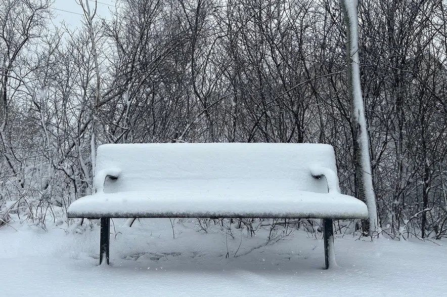
A super El Niño could change the way winter looks on the Prairies.
While past winters have seen massive dumps of snow and temperatures drop to 40 below, this winter could be a little milder.
Barrie Bonsal is a climate specialist with Environment and Climate Change Canada. Speaking on The Evan Bray Show this week, he said this year’s super El Niño is especially strong.
“I saw a newspaper article. I think it was last week where they’re now calling it a super-duper El Niño because it is such a strong phenomenon that’s going on there,” he said.
Read more:
As for how it works, Bonsal said it’s simply a change in the direction warm air travels.
“It affects the jet stream over the Pacific Ocean, and it allows the warm air that’s more in the south to get into our area, and we’re seeing a classic example of that right now,” said Bonsal.
Throughout October and much of November, Saskatchewan has seen sunny skies and warm temperatures hovering around the 10 C mark.
Bonsal said those warm temperatures will eventually come to an end, but the change won’t be as abrupt as many might think.
“It looks like it’s going into next week for sure, maybe about midweek, and then we’ll be coming down into more normal temperatures for this time of year, which are probably highs of around -1 C, -2 C, and lows of -9 C or -10 C,” he said.
While this super El Niño will have an impact on snowfall and temperatures, Bonsal said it will still feel like winter.
“So given the winter is a three-month-long season, if you look at the average I’m pretty confident we will be warmer than normal with respect to temperature. But that doesn’t mean like every day is going to be above normal. We’re still going to get those incursions of winter, maybe some cold snaps, but they should be not as prolonged and maybe not as cold,” he said.
As for snowfall, Bonsal said a few activities could be affected.
“I think if you’re interested in skiing, you’re going to be maybe a little bit disappointed this winter, as I don’t think we’re going to get a good snowpack to sustain that skiing, and plus with the warmer air, we might even get some midwinter melt events,” said Bonsal.
As for when we could see another El Niño, Bonsal said it could be quite a while.
“On average, we get El Niños about every two to seven years, and some of them get fairly strong. Other ones are more moderate or weaker in nature. So there’s not a real pattern on when these strong ones hit. But like I say, they’re on average about every two to seven years, and they’ll peak in winter. Then they’ll start to dissipate during the following spring, and then usually by midsummer they’ve gone more to neutral conditions, so the El Niño will end,” he said.