

Murray Wood: Is it time to review royalty rates in Saskatchewan?
Murray Wood says he's hearing people wonder how Saskatchewan keeps running deficits with all of the activity in the reso...
Wednesday afternoon, Environment Canada began raising the alarm about storms moving across Saskatchewan.
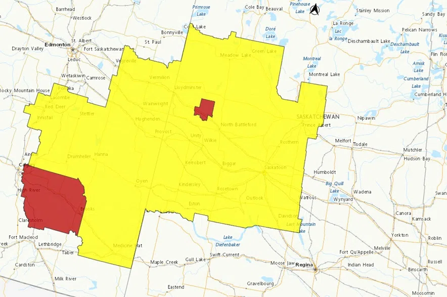
Severe thunderstorm watches went up around noon for much of west-central Saskatchewan about a storm system moving east out of Alberta.
Christy Climenhaga, a scientist with Environment and Climate Change Canada, said the storms had the potential for all the elements that might be expected out of severe weather.
“Very strong thunderstorms are in play, so there is a chance of very strong winds, large hail, heavy rain activity today,” said Climenhaga.
She said there was also the possibility of tornado activity with the storms.
The activity was expected to stick around west-central Saskatchewan in the afternoon, moving slowly across the province, and then into east-central areas into the evening and overnight before continuing through to Manitoba.
Climenhaga said most of the severe weather was set for the central parts of the province, but there could be thunderstorms that roll through north of Regina.
“Still the chance of some thunderstorm activity in the south, but mostly non-severe expected,” she explained.
Weather watches are issued when the conditions are right for severe weather to develop, a warning is issued when the severe weather is already happening.