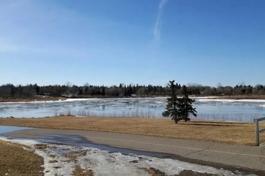
Saskatchewan just had its warmest winter in 77 years.
Environment Canada senior climatologist David Phillips told the Greg Morgan Morning Show that the warmth came from a combination of many different factors, such as a warm year last year, climate change, warm oceans, and most importantly, an abnormal El Niño.
An El Niño takes place when warmer ocean waters cause the Pacific jet stream to move south of its regular position.
An El Niño affects areas of the northern U.S. and Canada by causing drier and warmer-than-usual winter. At the same time, the U.S. Gulf Coast and southeast areas will see more wetter-than-usual conditions and will have increased flooding.
Phillips said this year’s El Niño was very different from those we usually see.
“It was supercharged; it was supersized,” he said. “In 80 years of El Niños, this has been the third-most powerful one, and they come every three to seven years, so they are kind of frequent. But this one was just super of everything.”
Phillips said it was very exciting to watch this past winter unfold.
“I get excited by a tenth of a degree breaking a record, but this was Canada-wide,” he said. It was more than a degree warmer than normal.”
As the winter comes to a close and we begin to look forward to spring, Phillips said that El Niño still has a part to play.
“El Niño is kind of dying, but it’s not dead, so we’re going to see some continued influence of that through at least the springtime,” he said.
Phillips said he expects next year’s winter to be a La Niña.
La Niña has the opposite effect of El Niño. Cold waters in the Pacific push the jet stream northward, which tends to lead to drought in the southern U.S. and heavy rains and flooding in the Pacific northwest and Canada.


