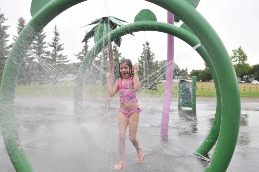
After what felt like a stretch of fall weather in July for many areas of the province, it looks like things are heating up.
“We already have some heat warnings in southern Alberta and southwestern Saskatchewan right now,” Samantha Mauti, a meteorologist with Environment Canada, said Friday morning. “That (upper) ridge will continue to move east through Saskatchewan as the days continue.”
There are currently heat warnings for areas like Maple Creek, Shaunavon, Eastend and Val Marie. Mauti said areas like Regina and Saskatoon will likely experience weather in the high 20s C and low 30s C to end the week.
“However, Monday and Tuesday, it’s possible that you’ll see (temperatures) more into the mid 30s,” she said.
Mauti said the heat is expected to peak early next week, but there will still be warm temperatures afterward.
“Still warm but closer to normal,” she said. “So (we’re) looking more in the upper 20s for the temperatures to end out next week and then it looks like early August, there’s a possibility that some of those temperatures could increase again.
“But it’s looking like (when we) get toward the end of next week and into the end of July, temperatures (will be) closer to normal.”
Smoke
Most of northern Saskatchewan is still under a special air quality statement.
“Actually right now, we have a weak front possibly pushing some of the more widespread smoke out of northern Saskatchewan. However, it looks like that might return for early next week,” Mauti said.
She said it’s possible that more southern areas could see some haziness from the smoke as the front moves south.
“Right now, the south is looking OK still,” Mauti said.
“(There are) AQHI (Air Quality Health Index) values in the threes and fours for Regina and Saskatoon, and even other parts in southern Saskatchewan as well including Swift Current and Estevan. So (we’re) not seeing super high values there right now.”


