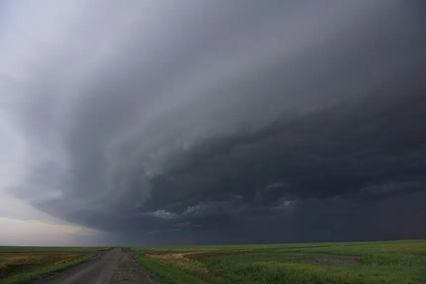
After a low-pressure system brought stormy conditions to parts of Saskatchewan on Friday, Environment Canada says people should prepare for similar conditions throughout the weekend.
Harvest Storm #skstorm #stormhour #harvest #yqr pic.twitter.com/qu7xFmtCbj
— Country Thunder Storm Chaser (@skstormchase) August 27, 2022
Wind gusts up to 80 kilometres per hour, loonie-sized hail and flash flooding were all things some people had to deal with on Friday evening according to meteorologist Eric Dykes.
“We did receive lots of alerts about heavy rain, streets flooding and pea-sized hail in Moose Jaw,” Dykes said. “Although we never received an actual report of how much rain fell in the area, when you look back at radar accumulations over that time span, some areas probably received more than 20 millimetres (roughly an inch ) of rainfall.
“Some areas obviously within Moose Jaw saw quite a bit of rain while some others saw not nearly as much.”
According to Discover Moose Jaw, intersections around Caribou Street West and sections around High Park were completely submerged in water.
The flash flooding even caused man hole covers to pop off.
Some flash flooding happening in Moose Jaw, Saskatchewan right now. @weathernetwork #SKStorm #ShareYourWeather pic.twitter.com/rC9QaNCJPX
— Lia Nardone (@lianardone) August 27, 2022
Dykes says a low-pressure system will be hovering over much of the prairies throughout Saturday and Sunday, bringing with it similar conditions to those experienced by many people on Friday.
“Keep an eye on the sky because there’s going to be a chance of showers and the risk of thunderstorms basically for Saturday and Sunday,” Dykes said. “This area of low pressure is going to slowly move off to the east, but it’s going to really take his time in doing so.”
As this system continues its journey, Dykes says people should expect some completely different conditions by Monday.
“Monday onwards, there’s a building ridge of high pressure coming in from the west that really looks to elevate daytime temperatures throughout the week,” he said. “We are looking at really turning the heat up starting on Monday and continuing right through the week.
“We could see temperatures that are going to get into the low to mid-30’s by the latter half of next week.”
Environment Canada says it’s a strong possibility that heat warnings will start popping up on Monday for a large portion of the province.
For the latest updates on weather alerts from Environment Canada, you can click here.
–With files from Discover Moose Jaw


