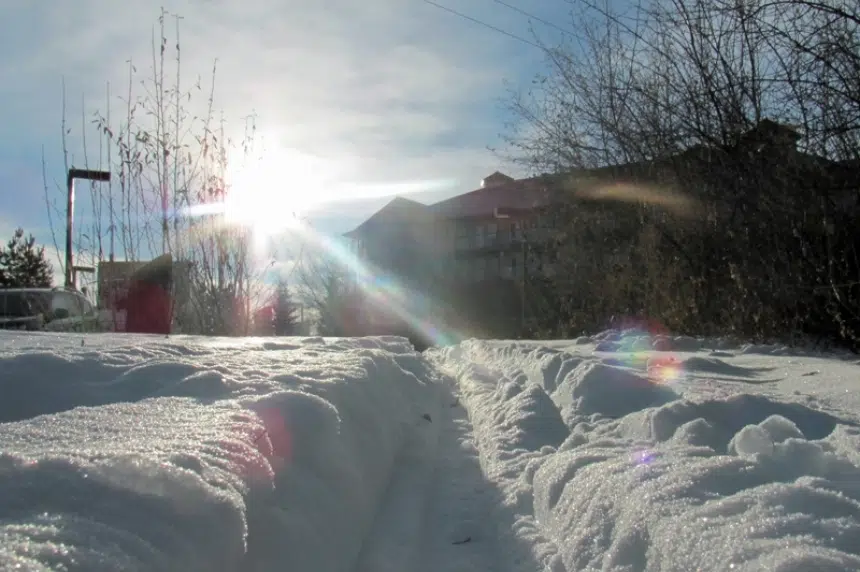
It’s welcome news to many in the prairies. Mild temperatures are expected to stick around for at least the next upcoming week.
That’s according to Environment Canada lead forecaster, Brad Vrolijk.
“Normally, at this time of year, it’s a lot cooler than it is. That’s often driven by (the polar vortex). Often, by late November, the polar vortex has moved over Hudson Bay and we just get a nice pipeline of cold air down to the prairies,” he said Sunday.
“What we’re seeing right now is the polar vortex is actually remaining quite a bit further north, over the high arctic. What that’s allowing is an upper ridging to build in over western Canada.”
Vrolijk said what we’re seeing now is a continued flow of mild pacific air over the prairies.
Within the next week, Saskatoon is expected to hit highs of up to 2 C Thursday and Friday. The seasonal normals are from -5 C on the highest end to -14 C overnight.
In Regina, highs up to 4 C are forecast this week. The seasonal normals are from -5 C to -16 C.
Typically, when mild temperatures set in throughout the province, they bring windy conditions.
Vrolijk said that isn’t the case this time around.
“There may be some windy periods… for the most part actually, it’ll be a bit breezy, but probably not particularly windy,” he explained.
He did warn of the potential of a low system moving through Saskatchewan’s north Monday and into Tuesday, bringing a bit of snow and cooler temperatures.
That system is not predicted to be close to Saskatoon, however.
Vrolijk also mentioned to be careful on Saskatchewan’s roads if you’re travelling later on in the evening this week. Random icy patches may form in spots due to the freeze thaw cycles.


