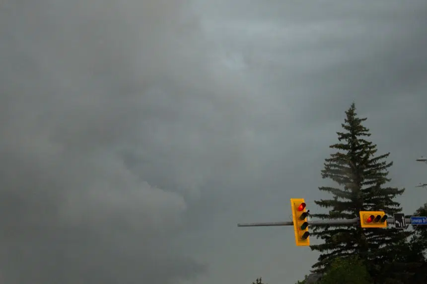
Residents in southern Saskatchewan were told to be on the alert for severe weather on Sunday night but, for the most part, the province got off easy.
Environment Canada meteorologist Dave Carlsen said the biggest hailstones were reported near Sceptre at loonie-sized. Quarter-sized stones also fell in Weyburn and Fenwood.
“There’s probably some fairly extensive hail damage in some spots. But (with) the amount of energy to create thunderstorms that were there (Sunday), it certainly could have been worse,” Carlsen said.
Most areas of the province were covered by either a severe thunderstorm warning or a severe thunderstorm watch Sunday.
Carlsen said the weather office issued tornado warnings for Melville but nothing touched down.
“Doppler radar was showing fairly strong rotation on a thunderstorm but we did have quite a few people watching that thunderstorm and no funnels were reported from that one,” he said.
The highest wind speed was recorded in Nipawin, at 85 kilometres per hour. Once the storm crossed into Manitoba, Carlsen said gusts reached 120 km/h.
He said there was also an unconfirmed report of winds reaching 140 km/h in Shoal Lake, Man.
There was some heavy rain in the Yorkton-Melville area, possibly “pockets” up to 100 millimetres, Carlsen said.
Conditions for Monday should not produce anything too worrying.
“(We’re) probably not going to see any more severe thunderstorms today. We might see some scattered thunderstorms over most of southern Saskatchewan,” Carlsen said.
“By and large, we’re just looking at maybe a bit of rain, a little bit of thunder but other than that, nothing too much.”
This point in the summer is peak tornado season and Saskatchewan experiences the most of the provinces, according to Environment Canada’s senior climatologist, David Phillips.
But they are not typically that powerful.
“Your tornadoes are little guys — F-zeros and ones, (so) that’s good. You don’t want them to be too powerful. You get plough winds, straight-line winds,” Phillips said during the Greg Morgan Morning Show on Monday.
“Hey, it’s been a windy spring and early summer and a lot of weather activity but overall, my sense is you guys have fared better than Alberta.”
That province, said Phillips, is experiencing a cooler, wetter season and is “still waiting for summer to arrive.”
In Regina, Phillips said summer has been ordinary, with precipitation levels catching up and “temperature-wise, it’s almost vanilla in a way.”
The city has had four days above 30 C compared to a single day in Saskatoon in May.
With the latter half of the season approaching, Phillips is predicting conditions that will please people aiming to take time off.
“Our models are showing it’s going to be warmer than normal (but) maybe not in northern Saskatchewan; it looks like it’s going to be near normal there … Precipitation-wise, we see a little more than normal in the northern parts, (which) keeps the forest fires at bay,” he said.
“If you left your holidays (to the) second half, I think weather-wise, it’s going to be very positive.”


