

Murray Wood: Who's hot... and who's not
Every Friday, Murray Wood takes a look back at the week's news and decides who's hot... and who's not. This week's list ...
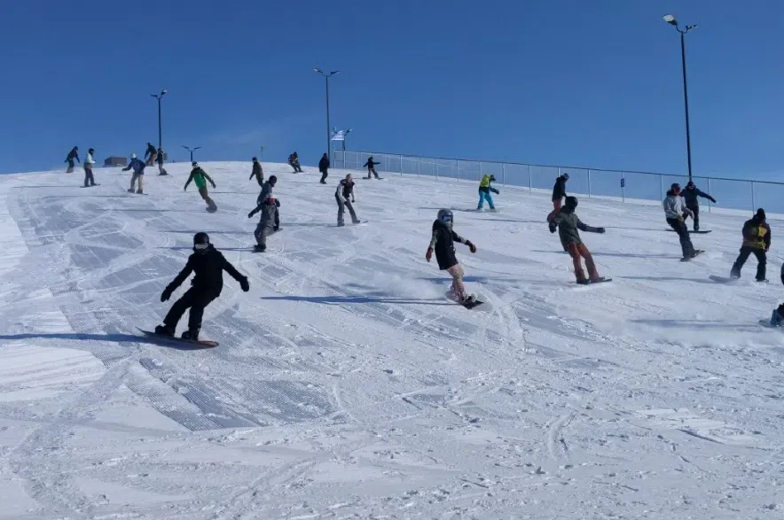
It’s not just love that’s in the air this weekend – a warm air flow has been heating up the province.
February has been a record-breaking month for temperatures in Saskatchewan. Dave Carlsen, a meteorologist with Environment Canada, said the flow of warmer air from the Pacific has been winning its ongoing battle with cold air flowing from the north, specifically the North Pole and Siberia. He credited the dominance of that warmer air for the province’s above-normal temperatures.
Read more:
On Thursday, the highest temperature recorded in Saskatchewan was 8.5 C in Weyburn, setting a new record for the date.
“There were some other temperatures that were quite a bit above freezing,” Carlsen said.
“Not a bad mid-February set of temperatures.”
But for those who have been enjoying the melt, Carlsen offered a caution that winter is not over in Saskatchewan for the year, and more snow could be coming to the province by the middle of next week. He said a “fairly substantial system” appears to be making its way towards southern Saskatchewan.
“It’s still a little bit far off, but things are coming into a bit more focus,” Carlsen said.
He estimated that system will arrive on Tuesday or Wednesday, bringing between three and 15 centimetres of snow to the southern half of the province.
“That still is still far enough into the future that (it) could change to no snow whatsoever, but it is certainly something to watch for the middle of next week,” Carlsen shared.
In the meantime, however, the meteorologist said the forecast for the long weekend is looking “particularly nice.”
Carlsen said temperatures will continue to be around or slightly above the freezing mark, with some sunshine and not very much wind or precipitation.
“I wouldn’t be surprised to see some temperature records fall, especially in the southwestern half of the province,” Carlsen said.
“If you drew a line along the Yellowhead (Highway), anywhere southwest of that, there’s an outside chance there could be some records breaking.”
Temperatures are expected to start cooling on Monday.
“Not horribly bad,” Carlsen explained. “Just a little bit below freezing, but still around or slightly above normal. It can change fairly quickly from summer to winter or spring to winter, so you have to get in the enjoyment while you can.”
A small chance of flurries could come to Regina on Saturday, which Carlsen chalked up to some clouds moving through the area.
“Even if there are a few snowflakes that fall from the sky in the morning, it’s not going to amount to anything, maybe even just the kind that melts right on contact,” Carlsen said.
No extreme cold is predicted in the foreseeable future, though Carlsen said if the temperatures do drop next week, the numbers should only land just below normal for February, with lows around -20 C and highs of -10 C.
“Certainly nothing like the -30 C, -35 C that would be the deep freeze that we would see in mid-winter,” he explained.
Normal daytime highs for this time of year hover around -6 C, while normal lows overnight are around -16 C.
Carlsen also noted some fog patches in the east central and eastern parts of the province on Friday between Regina and the Manitoba border could leave some roads icy.
–with files from 980 CJME’s Abby Zieverink


")