

Murray Wood: All hail the placekicker! Except when he misses
Alex Hale was supposed to make us forget about Brett Lauther, but how can we? Murray Wood says Hale has struggled, while...
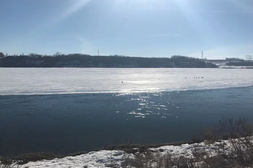
Most of southern Saskatchewan is in for an unusually long winter warm up over the next several days, according to Environment Canada.
Rose Carlsen, Environment Canada meteorologist, said a strong ridge of high pressure has been building over western Canada and remains stagnant, allowing warm air from the Pacific Ocean to stream over the Prairies.
Read more:
“Because it’s been so persistent is why we’re kind of building a little bit of warmth momentum, as it were.
“We’re expecting to see quite a few areas above zero (Celsius) today, and then continuing for the next few days,” she explained.
Carlsen added that while it’s not that unusual to get stretches of one or two days during the winter time above 0 C, the one Saskatchewan is about to experience doesn’t happen very often.
“It is pretty unusual to see the length of warm temperatures that we’re going to be seeing.”
By Monday, Environment Canada’s weather forecast is predicting daytime highs of around 5 C for Saskatoon and Regina.
The daytime high temperature for Swift Current is expected to reach 11 C by Wednesday, Jan. 14.
“We’re expecting the warmer weather… essentially from North Battleford down to the Yorkton area,” Carlsen added.
While the warm air is expected to stick around for most of next week Carlsen said it’s definitely not the beginning of the end to winter, with colder weather expected by next weekend.
Read more:


")