

Murray Wood: Twenty-year-old murder case shows shortcomings of Youth Criminal Justice Act
Murray Wood says the fact a 37-year-old man dodged an adult sentence for the killing if Misha Pavelick 20 years ago shou...
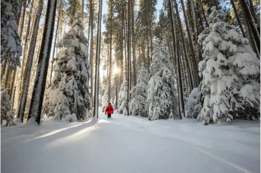
Saskatchewan and other parts of Western Canada might be in for some colder temperatures this winter due to a weak La Niña climate pattern affecting Canada.
La Niña events are manifested by the periodic cooling of cold sea-surface temperatures in the equatorial Pacific Ocean. It is the opposite weather pattern of El Niño, which generally brings warmer winters to Canada, according to Environment Canada.
Read more:
“During a typical La Niña winter, we do see colder temperatures for the sort of western part of Canada extending into northwestern Canada (and the) east side of the Rocky Mountains there, which would include enough east to include Saskatchewan, said Environment Canada’s Jennifer Smith on a Thursday conference call.
However, Smith stressed that Environment Canada could not confidently state that Saskatchewan would experience a below-seasonal trend for all of winter.
“We’re certainly seeing that classic La Niña signature to start the season with colder temperatures moving in … and I think we will continue to see some Arctic blast cold spells throughout the first part of the winter season, interspersed with some warm-ups,” Smith said.
“But, beyond that, it’s really hard to dictate what the temperatures are going to be like, unfortunately. I just don’t have a lot of indication in the forecast to say one or the other. So just be prepared for fluctuations and be ready for anything.”
In terms of precipitation, Smith said it’s possible the province will receive more snowy conditions, which is also another hallmark of La Niña events.
She explained that La Niña influences a storm track from Whitehorse to Winnipeg.
“It’s not going to mean that every storm is going to pass by that way, but it does show an increase in that route and so, I would definitely plan for a snowier winter and we’ll see how the season unfolds,” she said.
Smith said there wasn’t a lot of data yet on the Prairies, but the nature of the cold that was just beginning to seep into Saskatchewan from Yukon felt like an artifact from the past winters.
“It is not something we’ve seen for a while in parts of Canada,” Smith said.
“Just looking back, it’s not been since basically 1983, give or take, since we’ve had a cold winter this early in December in that part of Canada and some of that cold air will be working its way into the Prairies over the next couple of days.”
Dr. Madalina Surcel, researcher with Environment Canada, said average winter temperatures have increased by 3.7 C from 1948 until 2025.
“The global warming trend means extreme cold events happen less often and are warmer or less intense,” Surcel said, adding that “… extreme precipitation events are expected to become more frequent and more intense due to human-caused climate change, as a warmer atmosphere can hold more moisture.”
However, she said the amounts of extreme precipitation will vary across Canada.
Read more:


")