

Murray Wood: Canada can lose occasionally and still be number one
There have been times in Canada where confidence in our hockey dominance has wavered, but Murray Wood says a loss in the...
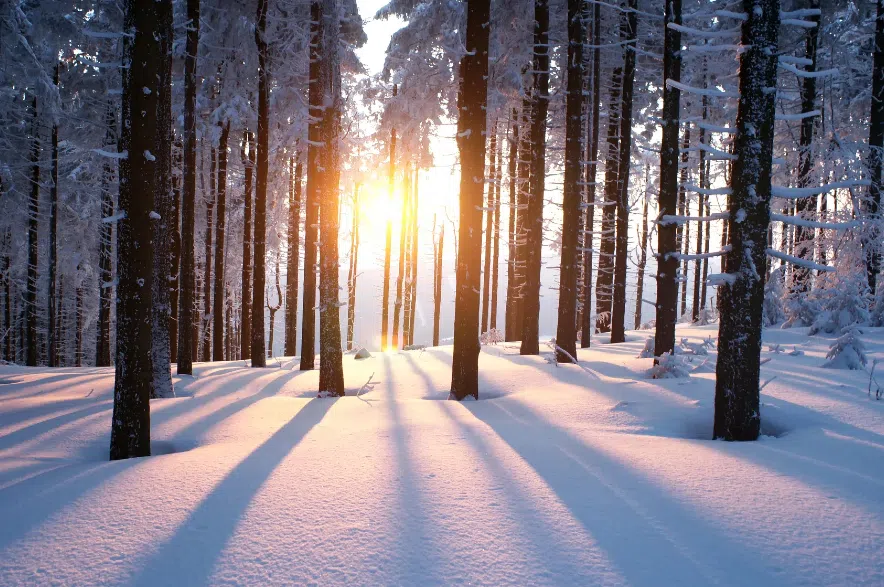
After more than a week of punishing cold, Saskatchewan is finally seeing relief as temperatures begin to climb and the deep freeze loosens its grip.
“It should be the last day of this cold weather,” said Kyle McCauley, a meteorologist with Environment Canada on Sunday.
“We’ve been dipping below normal temperatures in southern Saskatchewan probably since around Jan. 21, and now we’re going to slowly see temperatures start rising over the next few days, even getting close to zero by next weekend.”
Read more:
For residents who spent days plugging in vehicles, boosting batteries, and weighing whether travel was worth the risk, the shift matters. What began as another cold snap turned into a prolonged stretch of extreme temperatures.
McCauley said Saskatchewan and much of the country had been sitting under a large Arctic air mass that pushed south and then stalled over the region.
“This is a large Arctic air mass that was just pushed to move down south,” he said. “It’s usually associated with high pressure and clear skies, so the surface isn’t covered by cloud and all that heat is allowed to escape into the atmosphere.”
With clear skies and low sun angles this time of year, very little heat is trapped at the surface, allowing temperatures to plunge and stay there. McCauley said that setup helped make the cold event both intense and unusually long.
The length of the cold snap stands out. McCauley said the province was caught in a meteorological phenomenon called a blocking pattern, where weather systems get stuck and fail to move.
“A lot of times we do have a bit of a stuck pattern,” he said. “We usually see this once or twice a winter, but from my memory, this is the first time this winter we’ve really been in that kind of pattern for several days.”
The deep freeze followed a stretch of more typical winter weather earlier in January. McCauley said temperatures had been near normal before briefly rising above average, making the sharp turn to extreme cold more noticeable.
“Before this event, we were pretty normal for about a week,” he said. “Then, between Jan. 10 and Jan. 15, it was quite a bit above normal.”
As the Arctic air mass continues to shift farther south into the United States, Saskatchewan is now seeing warmer air move back in from the west and southwest.
“A lot of times it’s from a weather system that brings up warm air,” McCauley said, pointing to Alberta Clippers that pull milder air north in the warm sector of low-pressure systems.
He said the warm-up is not expected to come with major snowfall.
“It doesn’t look like there are any major systems or snowfalls,” McCauley said. “Temperatures do rise, and it’s probably going to be from south to southwesterly winds bringing warmer air in.”
Looking ahead, McCauley said the milder pattern is expected to hold for at least the next week or two, though long-range forecasts remain less certain.
Even as conditions improve, he urged people to stay cautious during the final stretch of extreme cold, especially on the roads.
“Stay warm out there,” McCauley said. “Make sure you’re plugging your cars, not travelling if you don’t need to, and bringing extra blankets and warm clothing if you do have to travel.”
Read more: