

Murray Wood: Who's hot... and who's not
Every Friday, Murray Wood takes a look back at the week's news and decides who's hot... and who's not. This week's list ...
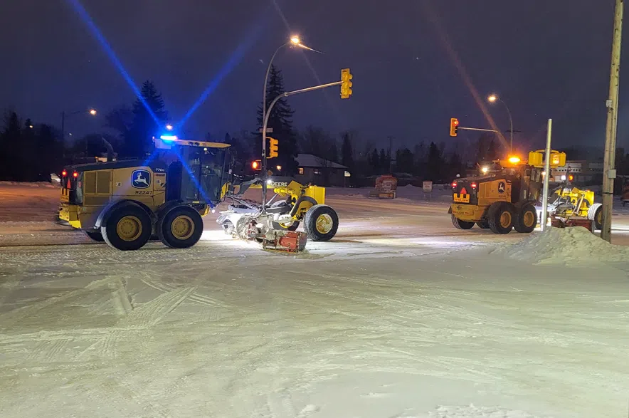
It’s a new year, but the same winter weather in Saskatoon, with snow in the forecast yet again.
Brad Vrolijk, lead forecaster with Environment and Climate Change Canada, said the Bridge City can expect to get another couple of centimetres of snow by the end of the day on Friday.
Read more:
It’s a lighter snowfall than what’s expected in communities further north, like Prince Albert and Meadow Lake, where four to eight centimetres of snow is expected to fall.
According to Vrolijk, the province as a whole is “stuck in a pattern,” bringing small snowfalls every 24 to 36 hours.
“We’re seeing another band of snow push through the region today, which is fresh on the heels of the last band of snow, which was fresh on the heels of the band of snow before that,” Vrolijk said.
While the total amount of snow the city has seen so far this winter isn’t unusual, it’s the way it’s coming that’s a bit outside of the norm for this time of year.
“Instead of big storms, what we’re getting is more frequent little impulses that ripple along this temperature gradient and brings another two (centimetres), another four. Here’s five to 10. Here’s two,” Vrolijk said.
It’s a divergence from a typical Saskatchewan winter, where a few big storms bring snowfalls of 10-25 centimetres, often follow by cold snaps lasting two or three weeks.
Contributing to the somewhat unusual winter weather is the polar vortex, an area of cold, rotating air that encircles the North Pole. Vrolijk said the vortex isn’t established where it normally is, leading to weather that’s a little different across the entire country.
He said the change has brought more frequent outbreaks of cold air to eastern Canada, while Arctic areas like Baffin Island are “actually quite a bit warmer than normal right now,” he said.
“If you’re in southern Alberta or B.C., you found even maybe it’s a surprisingly warm winter at times,” according to Vrolijk.
But even with the change in snowfall, Vrolijk said this sort of weather is “not crazy unusual,” and “does happen from time to time.”
As for the broader reason behind the shift in the polar vortex, Vrolijk said it’s still “too early to attribute it to anything in particular.”
This winter may be “a little mixed up at the moment,” but the forecaster said it’s a waiting game to see how things will develop throughout the rest of January.