

Murray Wood: Of Easter bunny bells and Juicy Fruit gum
For Murray Wood, Easter brings to mind grandma's practical advice about repurposing, and some of life's little lessons.
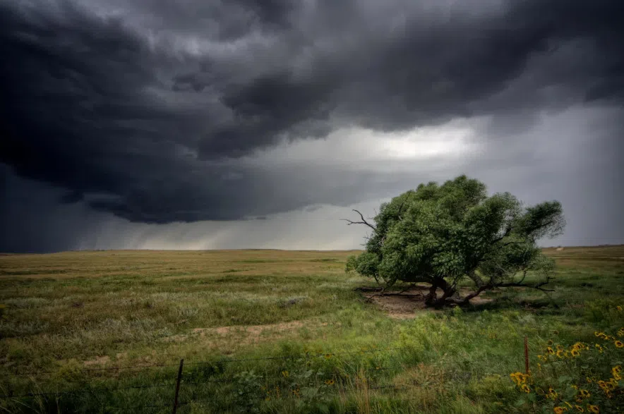
After the skies cooked up powerful storms in Saskatchewan Friday evening, history could repeat on Saturday.
Intense hail core north of Macklin, Saskatchewan. #skstorm pic.twitter.com/uZt45krTwo
— Braydon Morisseau (@BraydonMoreSo) June 14, 2025
Environment and Climate Change Canada (ECCC) issued storm watches Saturday afternoon for central and southern areas with conditions favourable for the development of dangerous thunderstorms capable of producing strong wind gusts, damaging hail and heavy rain.
Read more:
“An area of thunderstorms will develop this afternoon in central and southern Saskatchewan, some of which may become severe. This area stretches from Prince Albert and North Battleford southeastward through Saskatoon and then southward to the American border, ECCC said.
The main threats with these storms will be wind gusts up to 100 km/h and toonie-sized hail.
“Hail can damage property, break windows, dent vehicles and cause serious injury, ECCC says.
It also says that very strong wind gusts can damage buildings, down trees and blow large vehicles off the road.
During storm alerts heavy downpours can cause flash floods and water pooling on roads and water-related activities may be unsafe due to violent and sudden gusts of wind over bodies of water.
While the odds of getting struck by lightning are less than one in a million, lightning is also a danger.
The Government of Canada says that there are an average of between two and three lightning-related deaths and 80 lightning-related injuries across the country every year. Most injuries and fatalities occur between June and August, and most fatalities were people in open areas or taking shelter under a tree.”
Beautiful shot of the tornado near Coleville, Saskatchewan this afternoon courtesy of Justin Becker on Facebook. #skstorm pic.twitter.com/OXkX6f6zB9
— Spike Davis (@AZStormChase) June 14, 2025
Friday evening’s string of thunderstorms covered a 200 kilometre swathe from the Macklin area to the U.S. border.
ECCC meteorologist Brian Luzny said their office has received reports of heavy downpours in the Cabri area and small hail ranging from pea to dime size in Macklin.
“I actually saw reports on on social as well, people thinking it was snow in June, but it’s actually just a lot of pea size and dime size hail accumulating.”
A photo on social media claims to show a tornado near Coleville, 30 kilometres north of Kindersley.
Luzny said ECCC had issued tornado warnings in that area between 6 p.m. and 7 p.m. but it was too soon to say if the photos show a legit twister.
“Currently, we are calling it possible tornado under investigation,” Luzy said. “We have seen a couple of photos on social media for that storm around the same time.”
According to The Weather Network, Saskatchewan has had seen two tornadoes this season.
The Northern Tornadoes Project confirmed two tornadoes were observed on June 2 south of Cut Knife, 50 kilometres west of Battleford.
Saskatchewan historically averages 14.6 tornadoes annually, ranking second among provinces.
— with files from CKOM News
Read more: