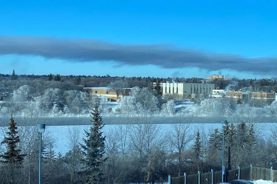
An arctic mass has kept temperatures frigid in Saskatchewan for the last little while, but those temperatures are heading the other way this week.
A low pressure system tracking through the province Monday is set to bring some snow and a high of -8 C — which Environment Canada meteorologist Robyn Dyck noted is significantly better than temperatures have been.
Despite the expected Monday snowfall, not much accumulation is expected for the southern part of the province.
The Monday high isn’t quite seasonal for Saskatchewan. Dyck said -4 C is the normal high for this time of year, with a typical low of -13 C. It’s supposed to get a little bit colder on the back side of the low pressure system from Monday night into Wednesday.
Then highs will be slightly above normal later in the week, particularly on Thursday and Friday.
Dyck said she would be hesitant to call this a sign of spring, however.
“I would just call it the weather of the day,” the meteorologist said. “It’s just where things swing, depending on the wind direction (and) depending on where the air masses are coming from.”
Dyck said the warm temperatures likely won’t be sticking around.


