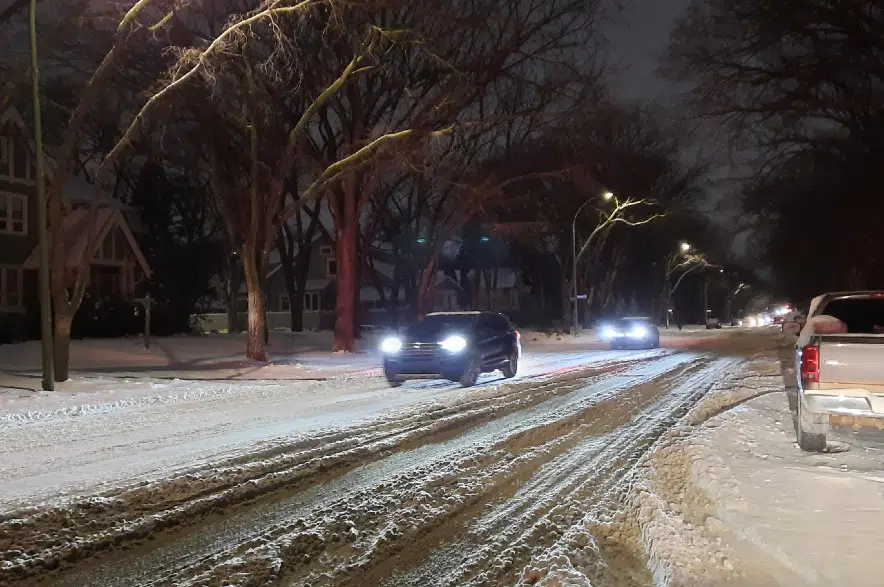
After days of messaging from Environment Canada, the snow finally arrived in Regina and southern Saskatchewan on Wednesday evening and continued into Thursday morning.
The snow comes from a Colorado low, which slowly made its way towards the southeastern part of the province over the course of the last week.
According to meteorologist Rose Carlsen, the areas of Weyburn and Estevan were hit the hardest.
“Regina itself didn’t get a whole lot of snow, but there are reports around the 10 to 15 centimetres (in the southeast),” she explained Thursday morning.
Carlsen didn’t have specific numbers for Regina, other than that Environment Canada predicted five to 10 centimetres of snow could fall overnight Wednesday and into Thursday.
As the sun rose, Carlsen said the snow for the southern part of the province will stop.
“We’re likely going to be lifting the special weather statement this morning,” Carlsen said. “It’ll be tapering off here soon here and we’ll likely be lifting it this morning.”
While the snow will end Thursday for some areas, Carlsen mentioned that the southeast could get one more blast of it.
“(Thursday night) we’re expecting some more snow to come into the southeast corner (of the province), but we aren’t expecting it to come into Regina,” she said.
With the snow on its way out of the province, Carlsen said temperatures will really cool down as we head into the weekend.
Environment Canada is projecting highs of of -16 C to -19 C up until Sunday and then highs fluctuating between -20 C and -27 C well into next week.


