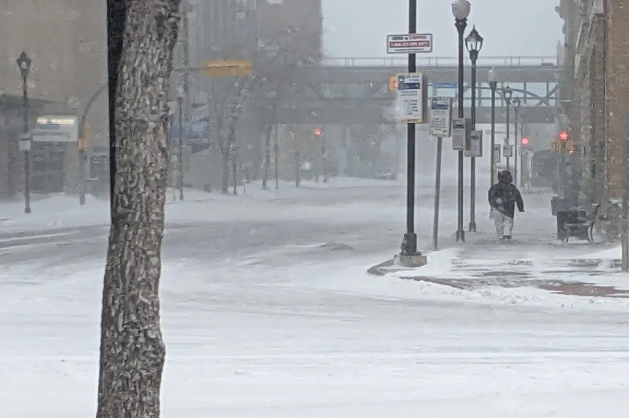
The end is in sight for the snow and wind that has blanketed Saskatchewan’s two major cities over the past 24 hours.
All the advisories and warnings for those regions have been cancelled.
Environment Canada meteorologist Kyle Ziolkowski says while the weather service is still calculating the final snowfall totals, it’s likely that Saskatoon and some northwest parts of the province saw the worst of the storm.
“It looks like they received around 10 to 15 centimetres,” he stated. “I don’t know how much they received Monday night, but we’ll have to add up the totals Tuesday to know exactly how much fell.
“It’s hard to get exact amounts because the snow’s blowing around a lot and you get a lot of drifting,” he added. “Just as a rough estimate, it’s about 10 to 15 centimetres (of snow) stretching up to North Battleford and into Hudson Bay.”
The City of Saskatoon said it measured 13 cm, which met the threshold to declare a snow event. That’s when the city mobilizes private contractors to help clear priority roads within 72 hours.
It was a different story in Regina, which didn’t see as much snow, but did see strong wind gusts accumulated with snow. Winds reached from 40 to 70 kilometres there Monday.
Ziolkowski mentioned the worst of the storm system has passed and conditions in the area are set to improve, but notes it’ll still be windy Tuesday.
“(The snow) is going to be much lighter than it was Monday. The visibilities are nowhere near as bad,” he explained. “We’re seeing reports of the visibilities coming up quite a bit overnight, so things will gradually brighten up here over the day and things will taper off overnight.”
Because of the drifting snow, Ziolkowski said it’s also still too early to tell just how much snow fell, but the weather office estimated two to four centimetres fell on Regina streets Monday. He said they also don’t know just how high some of the snow drifts got.
Strong winds are expected to continue in the Queen City throughout the day, when they’ll gust between 40 and 60 km/h until later in the evening.
Once the weather systems are gone, a ridge of high pressure is going to develop across Regina and Saskatchewan and Ziolkowski says that will lead to a big cooldown across most of the province.
“With this ridge that’s coming in, it’s going to usher in some cold arctic air,” he stated. “Temperatures are going to fall below seasonal here over the next little while.
“The other thing is that there’s another system that’s going to come in over the Rockies later on Wednesday and that’s going to spread some more snowfall. Pay attention to the forecast for more on that.”


