There’s a chance you’ve heard this before: A special weather statement has been issued for southeast Saskatchewan.
This time, though, it’s not looking like snow.
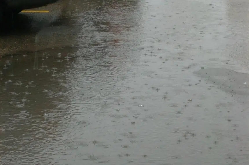
Environment Canada says some areas may receive 20 to 50 millimetres of precipitation, most of which will likely fall as rain starting Friday evening and lasting until Saturday.
Meteorologist Terri Lang says there are still a lot of uncertainties as to what the system could end up looking like.
“The closer we get, the sooner we’ll have a better idea,” she said. “Some models have been giving more rain than wet snow, so those are the trends that we’re seeing as we get closer in time.”
There is a chance the system remains entirely in the United States, but the largest likelihood is that areas near the Canada-U.S. border will receive the largest amount of precipitation.
Lang says the reason for issuing the weather statement now is that the region has been battered so frequently throughout the last month.
“Because that southeast corner has been hit already by two storms, there’s a lot of sensitivity to any more increased moisture, especially any kind of rain (or) wet snow, because they’re still trying to clean up,” she said.
“I think that’s why we’re taking that precaution of issuing that special weather statement, just so that people are prepared because there was that sensitivity already there.”
The southeast has been hammered by snowstorms over the past two weeks. That snow is melting and, when that water is combined with the rain in this storm, there’s a chance of flooding in the region.
The Water Security Agency raised that alarm Wednesday, saying it’s possible that areas south of the Trans-Canada Highway and east of Highway 47 could see flooding later this week or early next week.


