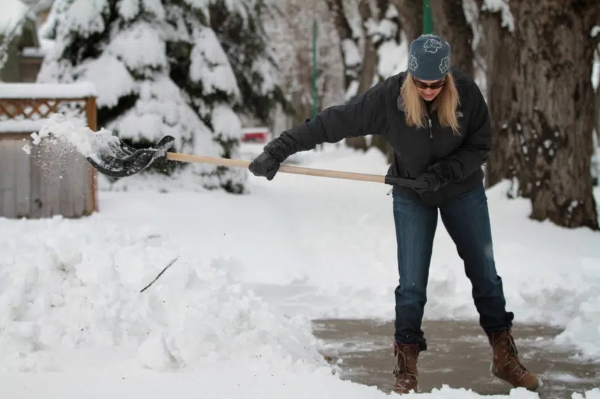
Like a record on repeat or a stuck time loop, the very southeast corner of Saskatchewan is in the path of yet another snowstorm for the weekend.
Environment Canada has issued winter storm warnings for the Carlyle, Estevan, Weyburn and Moosomin areas.
The storm is expected to start Friday evening with a bit of snow and a possibility of freezing rain, but the bulk of the snow will fall on Saturday.
Brian Proctor, a meteorologist with Environment Canada, said between 20 and 30 centimetres of snow will fall across most of the area, though the convection in the system could drop up to 60 centimetres on places here and there.
“The best chance of seeing those highest amounts will be areas closest to the Manitoba border,” Proctor said Friday.
High, gusting winds will accompany the storm as well, which could cause problems with travel.
While the edge of the storm will be pretty sharp, according to Proctor, areas like Regina and Yorkton could get up to five centimetres of snow on Saturday as well.
The snow is expected to be heavy and wet and, along with high winds, could be a danger for power outages, according to Proctor.
“These kinds of events tend to produce fairly significant buildup of snowfall on power lines,” he said.
Proctor suggested people get any necessary errands done on Friday instead of trying to venture out on Saturday and for people to prepare for a possible power outage like drawing some water just in case their well won’t pump without power.
Proctor said the snow is likely to start tapering off Sunday morning.
“We may see some flurries lingering into the afternoon with that backside with those winds coming down out of the north to northwest but, in general, (it’ll be) sort of clearing into Sunday night,” said Proctor.
However, the storm will be followed by some very unseasonably cold temperatures for a few days. Proctor said the low on Sunday into Monday is expected to be -14 C and typically this time of year an overnight low would be about 0 C.
“It’s going to be a cool, unsettled week but even when we start to warm up, we’re still going to be substantially lower than what we seasonally should expect for this time of year,” said Proctor.
This is just the latest in a series of winter storms that have hit the province’s southeast corner. Proctor said it’s because of Colorado lows which develop in the U.S. and then start moving northeast, catching the corner of Saskatchewan.
The month of May is within spitting distance and Proctor says the long-range forecasts are starting to hint at more seasonal conditions, but he said this still may not be the end of the snow.
“I wouldn’t be surprised to see one or two more storms, still, coming into that area,” said Proctor.
Estevan bracing again
Estevan Mayor Roy Ludwig says it’s hard to believe another storm could be on the way after what most of the region dealt with last weekend.
“We haven’t seen storms like this. I think they said that there (haven’t been) two storms like this this late in the year since 1902,” Ludwig said.
“The last one we had was 40-some centimetres and now they’re talking about that (or) maybe even 50 (centimetres). It’s a lot to take in.”
Ludwig said he was impressed with how well everyone in town rallied together to help one another in a time of need during the previous storm.
“We’ve got great staff (and) fantastic crews that work well together. They worked right through the Easter weekend so we could keep mobile,” Ludwig said.
“Another thing that we noticed is how everyone helps one another in times like this. That was another positive.”
The storm lasted three straight days last weekend and Ludwig says the work hasn’t really stopped since.
“(Crews) continued to clean and grade and blow snow all week so now we’re ready,” he said. “Heaven forbid it happens again.”
At this point, Ludwig says the workers are still ready to do what’s needed to get through another potential storm.
“It’s all hands on deck (and) all equipment on deck,” he said. “We prepare for the worst and hope for the best.”
— With files from 650 CKOM’s Dallas Dahlseide


