

Murray Wood: Who's hot... and who's not
Every Friday, Murray Wood takes a look back at the week's news and decides who's hot... and who's not. This week's list ...
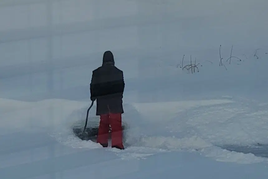
Spring might be on the way, but winter isn’t yet ready to take its frosty claws out of Saskatchewan.
A major snowfall is coming to many central and southern parts of the province.
Snowfall warnings were issued Thursday morning for Regina, Saskatoon, Moose Jaw, the Battlefords and Lloydminster, as well as the areas around Kindersley and Melfort. The southeast corner also falls under those warnings.
They’re all expected to get between 10 and 20 centimetres of snow.
Eric Dykes, a meteorologist with Environment Canada, explained more about what to expect.
“It’s Mother Nature’s way of trying to send off winter with one more blast before spring arrives, hopefully,” he said with a chuckle.
When the snow will fall depends on each part of the province.
In southern areas like Regina, lighter snow will start falling Thursday afternoon. It will start to pick up in the evening, falling heavily at night, then mostly tapering off by the morning.
In more central areas like Saskatoon, the snow will start later. Its heaviest fall will come at around midnight Friday, and go until early afternoon.
Another thing Dykes notes is that there will also be fairly strong wind, with gusts up to 50 kilometres per hour.
However, that doesn’t mean it will become a blizzard.
“There’s going to be some reduction in visibility due to all of the heavy snow that’s falling. The winds are not going to help matters, of course, but the temperatures are warm enough that we’re not too concerned about blowing snow,” he explained.
“If it were colder, we would get the snow that falls and then gets picked back up by winds.”
With the hit to visibility and a large amount of snow, he’s urging people to be careful on the roads.
“Suffice it to say, it’ll be treacherous driving conditions (Thursday) night,” he said.
While the weather office hasn’t issued a warning, Dykes also cautioned people living in or visiting the Shaunavon, Eastend and Assiniboia area. He said they will get less snow, but might get freezing rain.
The weather is already relatively mild, with high temperatures hovering at or below the -10 C mark.
With temperatures warming up more after the weekend, Dykes is predicting some typical March conditions.
“It’s going to be even slushier and … gross for the next couple of days, unfortunately,” he laughed.
“The snow that’s going to fall is going to be slushy through the weekend and then start to kind of melt as we get into the early half of the work week … It comes with the territory as we transition in the shoulder season from winter to spring.”


")