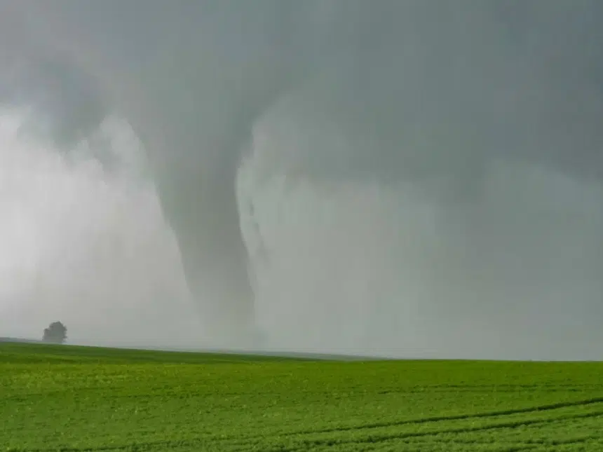
According to Environment Canada, at least two tornadoes touched down in southwest Saskatchewan on Saturday.
The first was reported at about 4 p.m. south of Glenbain by extreme weather photographer Craig Hilts. Later that afternoon, another was confirmed near Assiniboia.
Meteorologist Mark Melsness said it all started with severe thunderstorms south of Swift Current yesterday afternoon, with conditions ripe for something more serious to develop.
“A lot of heat and humidity. Kind of an upper-level system went that touched off the thunderstorms,” Melsness said.
“They just fed off the heat and humidity. Late afternoon is kind of the peak time for tornado occurrence.”
Melsness said the storm dumped hailstones the size of softballs on the region.
There was damage but the reports are imprecise.
“It looks like a house suffered some considerable damage and there is another picture showing a grain bin that had been destroyed and tossed a considerable distance,” he said, adding that unless the storm struck something big, it’s hard to measure how powerful it was.
But just eyeballing it, he could tell it was a significant tempest.
“It had the kind of wedge shape to it, so it certainly could have been well up there as far as the EF (Enhanced Fujita) ratings go,” Melsness said.
As for rainfall totals, there wasn’t much — Estevan saw about a third of an inch. Less in other areas.
“Not huge rainfalls, I mean right under the centre of the storm it could have been considerably higher,” Melsness said.
It’s still hot and humid but he’s not predicting a repeat of last night.
“Looking at any risk of thunderstorms today likely from Regina and points northeast, but not quite as unstable an atmosphere so not really looking at too much in the way of severe today,” he said.


