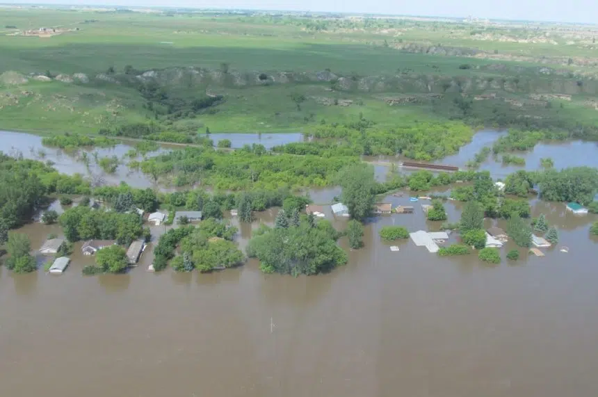
Twenty communities across Saskatchewan are set to receive updated flood mapping.
Ralph Goodale, the federal minister of public safety and emergency preparedness, made the announcement Monday in Regina.
In all, the program is set to cost $1 million, with a 50-50 split between the federal and provincial governments. The City of Prince Albert will also invest $60,000 for other preventative measures.
Goodale said the initiative is part of the National Disaster Mitigation Program to better prevent disasters due to climate change.
“What’s clear is that weather-related emergencies and natural disasters are becoming more frequent, more severe (and) more costly,” he said during a media conference.
In Canada, flooding is the costliest natural disaster.
“We face a debilitating cycle of storms and floods and then droughts and wildfires,” Goodale said. “Here in Regina we had that big downpour and some flooding July 16, and other places around the province experienced difficulties as well.”
Some of the major communities that will be mapped include Regina, Saskatoon, Moose Jaw, and Prince Albert.
Aircraft will identify areas that are most at risk from flooding from nearby bodies of water and changes in climate. The communities then will be able to use the data to mitigate the effect of floods.
Dustin Duncan, Saskatchewan’s minister responsible for the Water Security Agency, welcomed the investment for the province.
“This partnership is a positive step toward helping communities become more resilient in the face of climate change,” Duncan said in an emailed statement.
“Flood mapping is vital for communities to manage potential flood hazards, and to implement effective mitigation measures.”
Sam Ferris, the vice-president of the Water Security Agency, said after an affected community receives flood mapping data, there are a number of measures it can take to prevent a natural disaster.
“Basically (it can put) limitations on where people can build, or the types of buildings that can be put in flood fringe areas,” Ferris said. “After that, you’re starting to build control structures to prevent or divert flood waters from affecting a community.”
Ferris added the data collected will be more modern through LIDAR, a laser technology that receives better topographical information.
Around 30 communities had previously undertaken flood mapping from the 1970s until the 1990s. Ferris said LIDAR will better determine changes that have occurred in that time.
For residents who may already live in existing flood zones, Ferris added that modern flood mapping will allow communities to better protect their homes through preventative measures to combat climate change head on.
Pat Wilson, the director of water, waste and environmental services for the City of Regina, said areas around Arcola Avenue and Fifth Avenue North had some infrastructure work done to mitigate flooding, and the city will work with flood mapping data moving forward.
According to the Insurance Bureau of Canada, insured flood damage in 2016 topped $4.0 billion, and annual economic disaster cost has increased fivefold since the 1980s.


