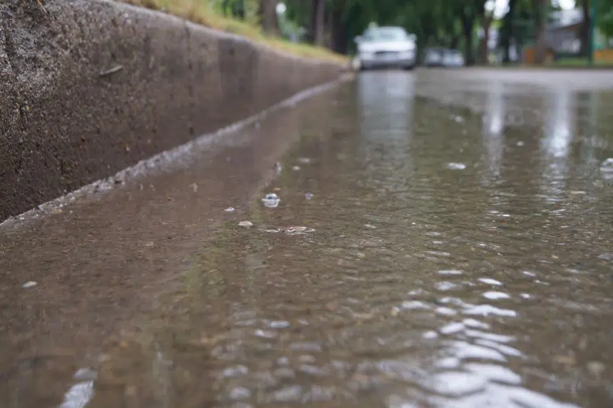
The first weekend of summer is going to be a wet one for Saskatoon, at least to start.
The same weather system that has been hanging around for the past couple of days will make its presence felt again Friday evening and into Saturday morning.
“It’s a stalled system. It’s not moving very fast. If you can imagine a counter clock-wise swirl around a low pressure system. That’s exactly what’s happening,” said Terri Lang, meteorologist with Environment and Climate Change Canada.
Lang said she expects “unstable weather” over the next week.
“And what we mean by that is that we’re going to see these systems moving through, probably not to the same degree that we just saw this one. We’ll get some sunny days and then some showers roll through, as oppose to a big ridge of high pressure that sets up, and it’s just sunny and hot,” Lang said.
Lang said June is typically the wettest month out of the year for Saskatchewan and that has been true so far for 2019.
For some, the latest weather event put a “pretty good dent” in the precipitation deficit Saskatchewan has been dealing with.
The community of Coronach, for example, has recorded more than 100 mm of rain over the past three days.
Environment Canada said Saskatoon ended up getting 35 mm of rain, or almost an inch and a half of rain, from this past weather event.
As for the coming months, Lang said the long-range forecast shows, on average, the temperature is going to be above average for June, July and August.
“That means it’s not going to be hot every day. It just means, when you average it out, at the end of summer, it’s forecast to be warmer than average,” Lang said.


