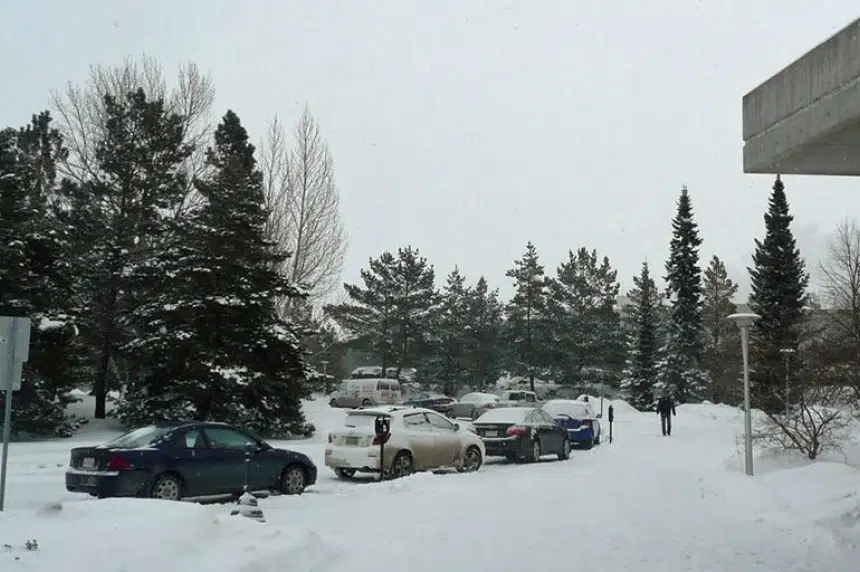
After a brief glimmer of spring late last week, winter came crashing back to Saskatoon.
About 15 cm of snow fell on the Bridge City from Sunday through to Monday morning, leaving many roads slick and sidewalks covered.
Environment Canada meteorologist Justin Shaer said Saskatoon can expect a few more centimetres of snow throughout the day Monday.
Shaer said a high pressure system coming into the area will drive down temperatures, but should should keep clouds to a minimum.
“Should be relatively sunny skies and, unfortunately, cold temperatures for the rest of the week and into the weekend,” he said.
Environment Canada was calling for a high of -11 C Monday with an overnight low of -15 C. Temperatures were expected to plunge further through the week, with a high of -20 C forecast for Thursday, with an overnight low of -31 C.
Snowfall warnings for eastern portions of province
While Saskatoon got its snow dump over the weekend, Shaer said Eastern Saskatchewan was due for heavy snowfall Monday.
Environment Canada issued weather warnings for regions straddling the Manitoba border and areas around Regina, Humboldt, Yorkton, and Melfort.
Shaer said people in Estevan, Weyburn and Moosomin could face harsher conditions with the risk of blizzard conditions on highways in the southeast corner.
“Increasing northwest winds up to 50, gusting to 70 kilometres per hour overnight and heavy snow. So that’s going to be creating the blizzard conditions, near whiteout at times,” he said.
Snowfall in the affected areas was expected to be as much as 20 cm in most areas. Some regions, like areas around Hudson Bay and Creighton, were forecast to see as much as 40 cm of snow.